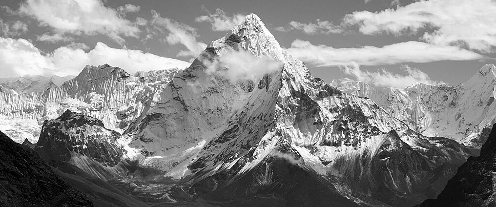
Mapping the Himalayas: Four Views of Kangchenjunga
Although lesser-known than Mt. Everest, the Himalaya peak known as Kangchenjunga or Kanchenjunga was thought to be the highest mountain in the world until 1852. It is sacred to the Chogyal people and in Sikkim is considered both a god and the abode of the gods. Until as late as 2019, the mountain summit area has been protected from recreational mountaineering and trekking, but recent efforts to open the mountain have gained governmental support.
The high peaks of the Himalaya have long been key targets of high altitude exploration not only for recreational conquests, but also for border security and military reconaissance. The mapping of the Himalaya by British and French mountaineers was an attempt to establish geopolitical dominance. It was also a scientific enterprise that sought to document the natural history of the region in a format that was legible to western academics and government officials (?). At the same time, historical maps of the Himalaya demonstrate a profound artistry in their detailed portrayal of glacial formations and other topographical features.
This exhibit explores four historical maps of Kangchenjunga created in the 19th and early 20th century during an era when accurate mapping of the Himalaya and surrounding areas was still under development. The maps demonstrate imperialistic understanding of borders, local place names, topography, and the results of increasingly precise and controlled trigonometric surveys.
Credits
Colin Justin
