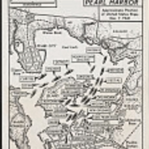
Pearl Harbor - Approximate position of United States Ships
Title
Pearl Harbor - Approximate position of United States Ships
Creator
United States Navy
Subject
Map of US Naval ship locations on the day of the Pearl Harbor bombings, 1945.
Description
Photograph of navy map of U.S. naval facility and location of ships just prior to the Japanese attack on Pearl Harbor.
Publisher
Associated Press Map photograph.
Date
1941
Type
Image
Format
1 photographic print : gelatin silver printing-out process and opaque white ; sheet 22.8 x 18.2 cm.
Identifier
Map, Pearl Harbor, US Navy, Ship
Source
NYWTS - SUBJ/GEOG--Hawaii--Pearl Harbor--Attack & Destruction--Dec. 7, 1941 [item] [P&P]
Language
English
Relation
New York World-Telegram and the Sun Newspaper Photograph Collection (Library of Congress)
Coverage
Pearl Harbor Bombings, December 7th 1941
Rights
Publication may be restricted. For information see "New York World-Telegram & ...," https://www.loc.gov/rr/print/res/076_nyw.html
Collection
Citation
United States Navy, “Pearl Harbor - Approximate position of United States Ships,” Santa Clara University Digital Exhibits, accessed January 30, 2026, https://dh.scu.edu/exhibits/items/show/3862.
Embed
Copy the code below into your web page
Item Relations
This item has no relations.
