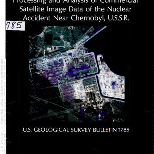
Processing and analysis of commercial satellite image data of the nuclear accident near Chernobyl, U.S.S.R.
Title
Processing and analysis of commercial satellite image data of the nuclear accident near Chernobyl, U.S.S.R.
Creator
Sadowski, Frank, G.
Subject
Remote sensing
Description
Analyzing the aftermath of areas around Chernobyl using satellite imaging.
Publisher
Washington, DC : United States Government Printing Office.
Contributor
Related Names:
Covington, Steven, J.
Geological Survey (U.S.)
Digitized by Google
Covington, Steven, J.
Geological Survey (U.S.)
Digitized by Google
Date
1987
Source
Hathi Trust
https://babel.hathitrust.org/cgi/pt?id=mdp.39015095145085&seq=1
https://babel.hathitrust.org/cgi/pt?id=mdp.39015095145085&seq=1
Rights
Public Domain, Google-digitized.
Citation
Sadowski, Frank, G., “Processing and analysis of commercial satellite image data of the nuclear accident near Chernobyl, U.S.S.R.,” Santa Clara University Digital Exhibits, accessed January 29, 2026, https://dh.scu.edu/exhibits/items/show/5010.
Document Viewer
Embed
Copy the code below into your web page
Item Relations
This item has no relations.
