University of Santa Clara, Botany map, by George Chaw, 1961
Closer view of map
Photograph of an aerial view of the Santa Clara Campus taken in 1985.
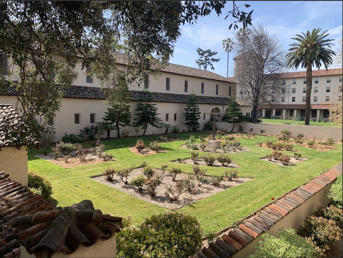
After the fire destroyed the chapel in 1926, the land was left for its original use, a cemetery. It has been the same ever since. Below the ground lies the remains of thousands of native people and others passing by. Out of respect for them, it is closed to the public. It also displays beautiful flowers meant to signify the life of the individuals who perished.