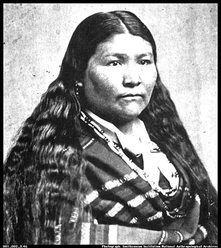
The Indigenous Tribes of California
This page provides the context and background of the different indigenous tribes of California. It explains where the category of tribes was situated, what kind of diet they had, as well as tribe-specific facts like the types of basket weaving technique they used. Following the natural course of the page, you can find a visualization of the tribes talked about to see exactly which regions they inhabited.
Northwestern Tribes
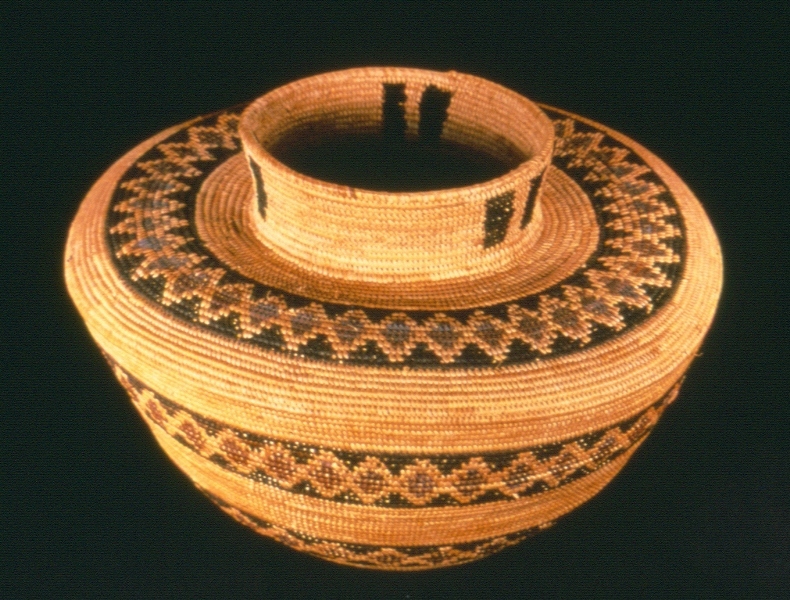
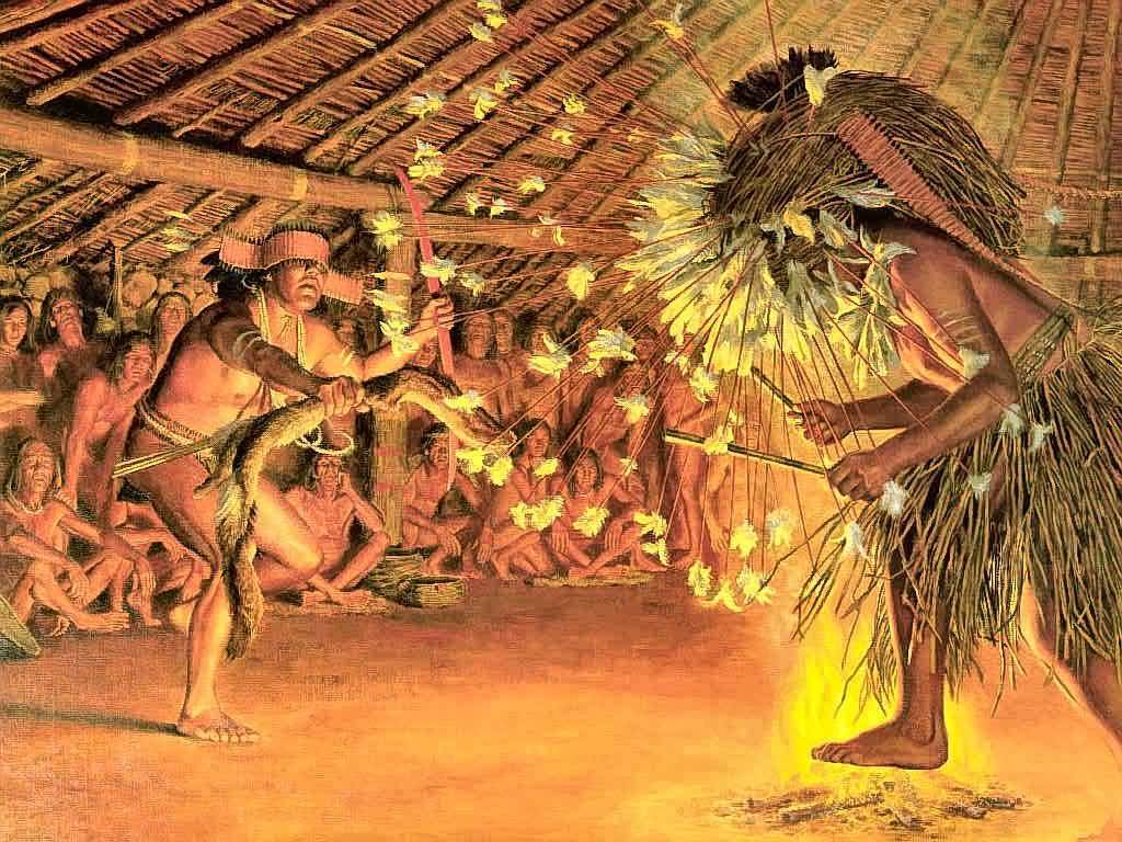
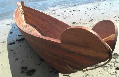
The northwestern area of California included tribes such as the Tolowa, Shasta, Karok, Yurok Hupa Whilikut, Chilula, Chimarike, and Wiyot. Because of the nature of the rainforest-like landscape, these tribes situated themselves around rivers and coastal bays. They used dugout canoes are forms of transportation. Using the tall redwoods in the area to their advantage, they built boats and houses. Redwoods were felled at the base with fire and then split with elkhorn wedges. The same redwood and cedar planks of wood were used to construct houses as well. Baskets were also woven with the twined technique, pictured above.
Northeastern Tribes
This area included the Modoc, Achumawi, and Atsugewi tribes. Due to the climate changes, the western territory enjoyed abundant acorn and salmon while the eastern territory lived off a more desert-acclimate lifestyle, with grass seeds, tuber berries, rabbit, and deer. These tribes used tule as food, where they ate the root bulb, and they used it to weave floor mats and building covers. The volcanic mountains in the west also provided obsidian, which was used in the trading market. Following European contact, the Achumawi and Atsugewi tribes experienced a population decline because of violence and respiratory diseases that spread. The Modocs experienced displacement to Oregon after their final resistance in 1872 to the removal of their land.
Central California Tribes
This area of the state included a vast variety of tribes like Bear River, Mattale, Lassick, Nogatl, Wintun, Yana, Yahi, Maidu, Wintun, Sinkyone, Wailaki, Kato, Yuki, Pomo, Lake Miwok, Wappo, Coast Miwok, Interior Miwok, Wappo, Coast Miwok, Interior Miwok, Monache, Yokuts, Costanoan, Esselen, Salinan, and Tubatulabal. Despite large differences due to the environment, these tribes all shared an abundance of acorn and salmon due to the Monterey Bay. They also enjoyed deer, elk, antelope, and rabbits. Their basket weaving was elaborate, indulging in both the coiled and twine variety of art. This area also was home to roundhouses where Kuksu dances were held as rituals to ensure the world's natural processes.
Southern California Tribes
The northern area of this territory included tribes like the Chumash, Alliklik, Kitanemuk, Serrano, Gabrielino Luiseno Cahuilla, and the Kumeyaay. They manufactured boats with double paddle ores called "Tomols" that could carry up to a dozen of passengers and hundreds of pounds of goods. The tribes on the shoreline enjoyed the rich seafood variety from the ocean, bays, and wetlands. Tribes situated more in the middle of Southern California like the Serrano, Luiseno, Cahuilla, and Kumeyaay enjoyed an abundance of rabbit, deer, acorn, seeds, and grasses. These interior tribes also crated clay vases and bowls, decorated with paint. All the tribes shared basket-weaving with unique designs as well. Catalina Island tribes used soapstone, because of its softer nature, to carve vessels, pipes, and slabs.
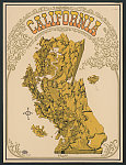
Where are the tribes located?
The map below, contributed by the Los Padres Forestwatch, provides a visualization of where the listed tribes were located in California. Using this map, we can see exactly what regions of the state each tribe inhabited and gain a better understanding of the way of life in reference to the landscape.
How to use:
The visualization opens on the map legend, which outlines that each tribal land area is bounded by dotted lines and that the colored-in areas of the state represent the type of land conservation that is currently in place. To get rid of the legend, select the arrows on the bottom border. Pan around California and see where indigenous tribes were located.